Kīlauea Eruption of 2026

Official USGS photographs of lava fountains, an eruption plume, and tephra impacts at Kīlauea's summit in Hawaiʻi.

Tall orange lava fountains rising from Kīlauea's summit at night
Episode 43 lava fountains — March 10, 2026. USGS reported fountains reaching at least 1,300 feet (400 meters) at their peak. Public domain: USGS / Hawaiian Volcano Observatory. Official source.
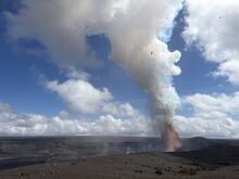
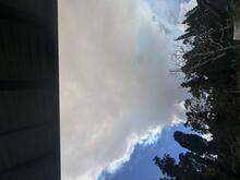
A towering volcanic plume rising above Kīlauea beneath a blue sky
Episode 43 eruption plume — March 10, 2026. The maximum plume rose above 30,000 feet (9,100 meters), according to USGS observations. Public domain: USGS / Hawaiian Volcano Observatory. Official source.
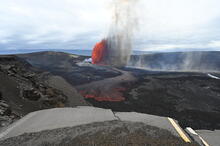
Bright lava fountain at Kīlauea viewed across the summit caldera
Episode 44 lava fountain — April 9, 2026. This view from the south rim records the start of a new eruptive episode within the summit caldera. Public domain: USGS photo by L. Gallant. Official source.
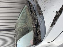
Dark volcanic tephra covering a parked car near Kīlauea
Tephra accumulation — March 10, 2026. Volcanic fragments accumulated on this vehicle for about seven hours nearly three miles from the vents. Public domain: USGS photo by N. Deligne. Official source.
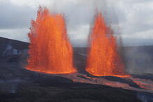
Two glowing lava fountains erupting simultaneously at Kīlauea's summit
Dual lava fountains — March 10, 2026. Both vents were active in this view from the south rim of Kaluapele, Kīlauea's summit caldera. Public domain: USGS photo by M. Patrick. Official source.

About these photographs: Every image links to its official USGS record and is marked public domain by the agency. Follow current closures and safety guidance from Hawaiʻi Volcanoes National Park and USGS; volcanic conditions can change quickly.

What Is Tephra?

Tephra is the scientific name for fragments of volcanic material thrown into the air during an eruption. It can range from fine ash to larger pieces. Wind can carry the smallest particles away from the vent, which is why scientists track plume height and direction.

How Scientists Monitor Kīlauea

Hawaiian Volcano Observatory scientists combine photographs with earthquake sensors, ground-deformation measurements, gas observations, and satellite data. Together, these measurements help researchers understand how magma moves and communicate changing hazards.